Drone Hire Adelaide -Erosion Mapping Lidar Australia
Drone Hire Adelaide – Erosion Mapping With Lidar Drone South Australia
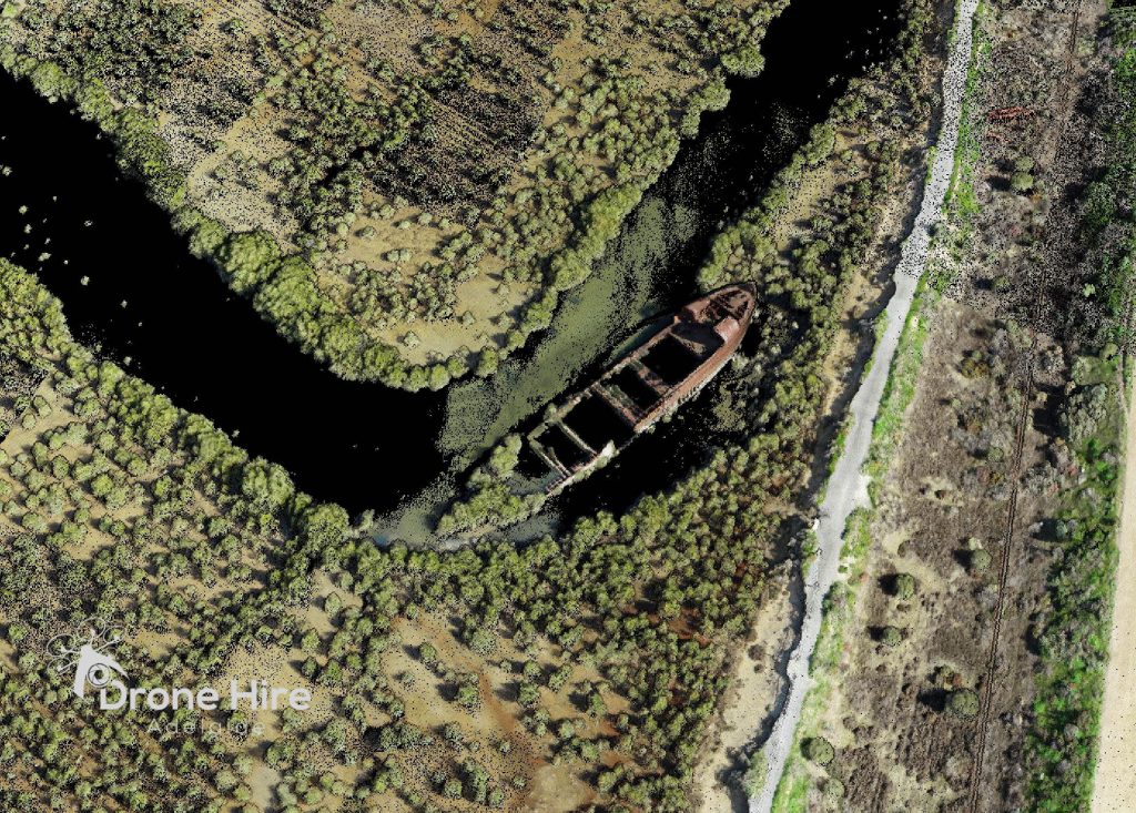
If you’re in need of a drone hire in Adelaide, look no further than Drone SA. We provide high-quality drones and services to suit your needs, including erosion mapping with Lidar drone technology.
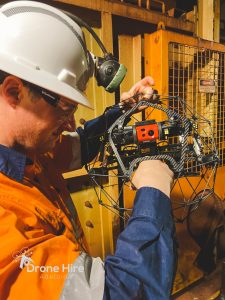
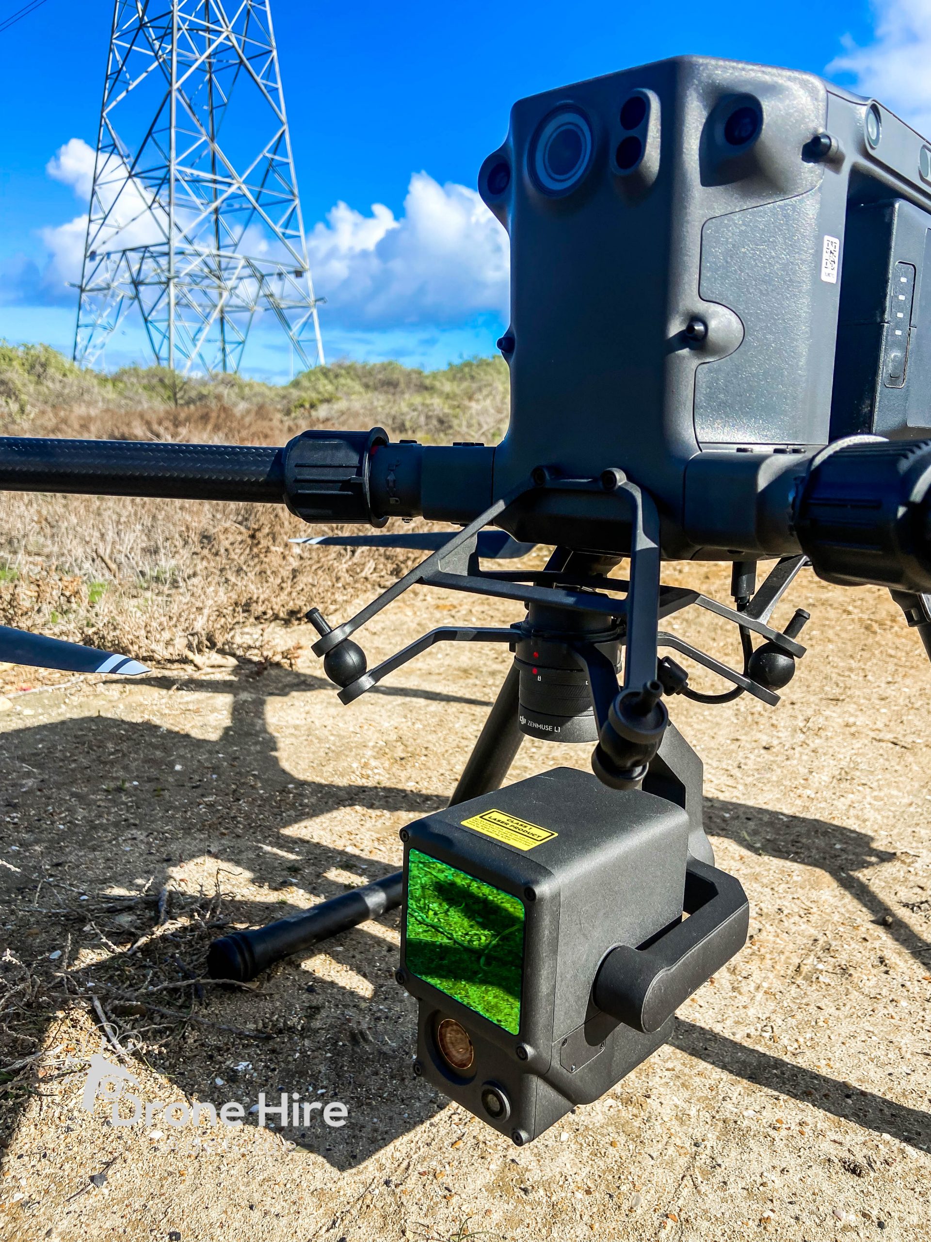
Lidar is a remote sensing technology that uses lasers to map out an area. It’s often used for surveying and mapping purposes and can be incredibly useful for tracking erosion.
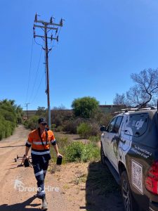
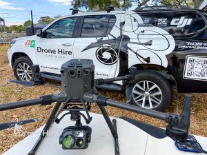
Drone SA’s Lidar drone services are perfect for those who need to keep an eye on their property or project site. We can provide you with high-resolution maps and data that will help you track any changes in the landscape.
We understand that every customer has different needs, so we offer a range of services to suit your specific requirements. Whether you need regular mapping updates or a one-off survey, we can help.
The Solution
Do you want to know more about this service?
Get in touch with our Project Manager